

Day 1/6 Cumbria Way 127km - Ulverston to Coniston - 13 May 2010
>> Tuesday, 18 May 2010
25.6km, took 7 hours
It was an icy morning (-1 degC) despite the approaching summer months. I jumped out of bed and caught the 0649 train to Ulverston, changing twice at Carlisle and Lancaster. The temperature rose as time passed; bright cheerful sun shining through the train windows; and myself doing my exam revision (sadly). It was a lovely beginning; lots of anticipation and I couldn't wait to get out to the wilderness again. It would be my second last long hike before I return to Singapore.
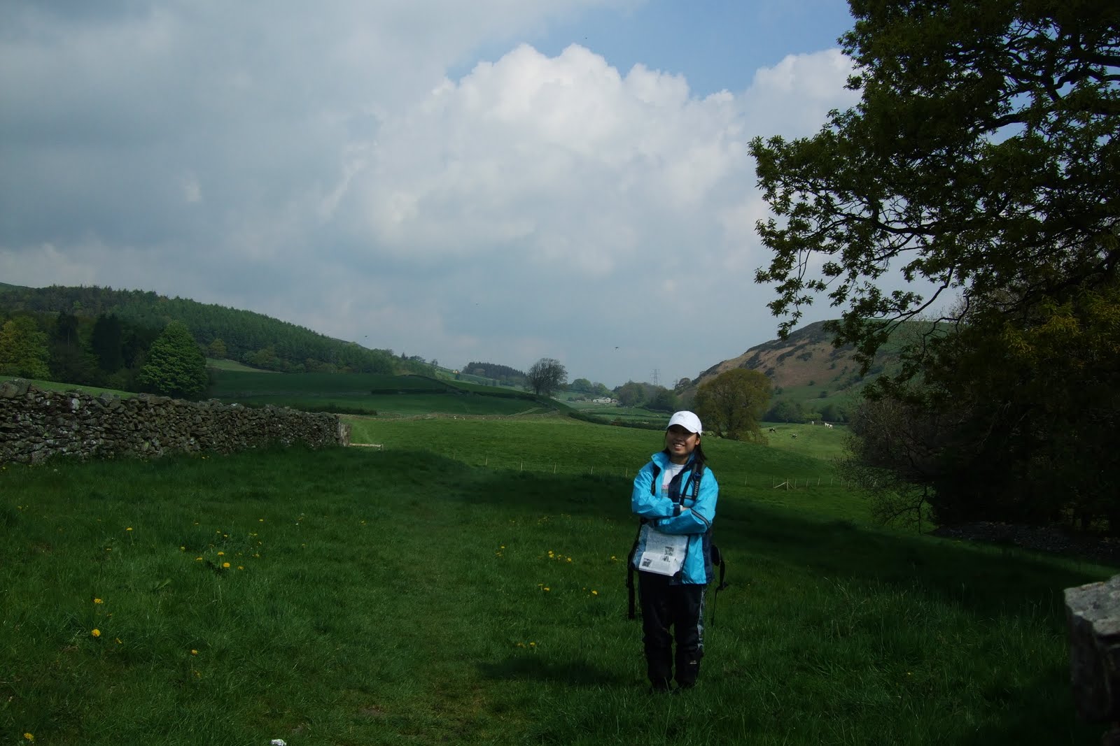
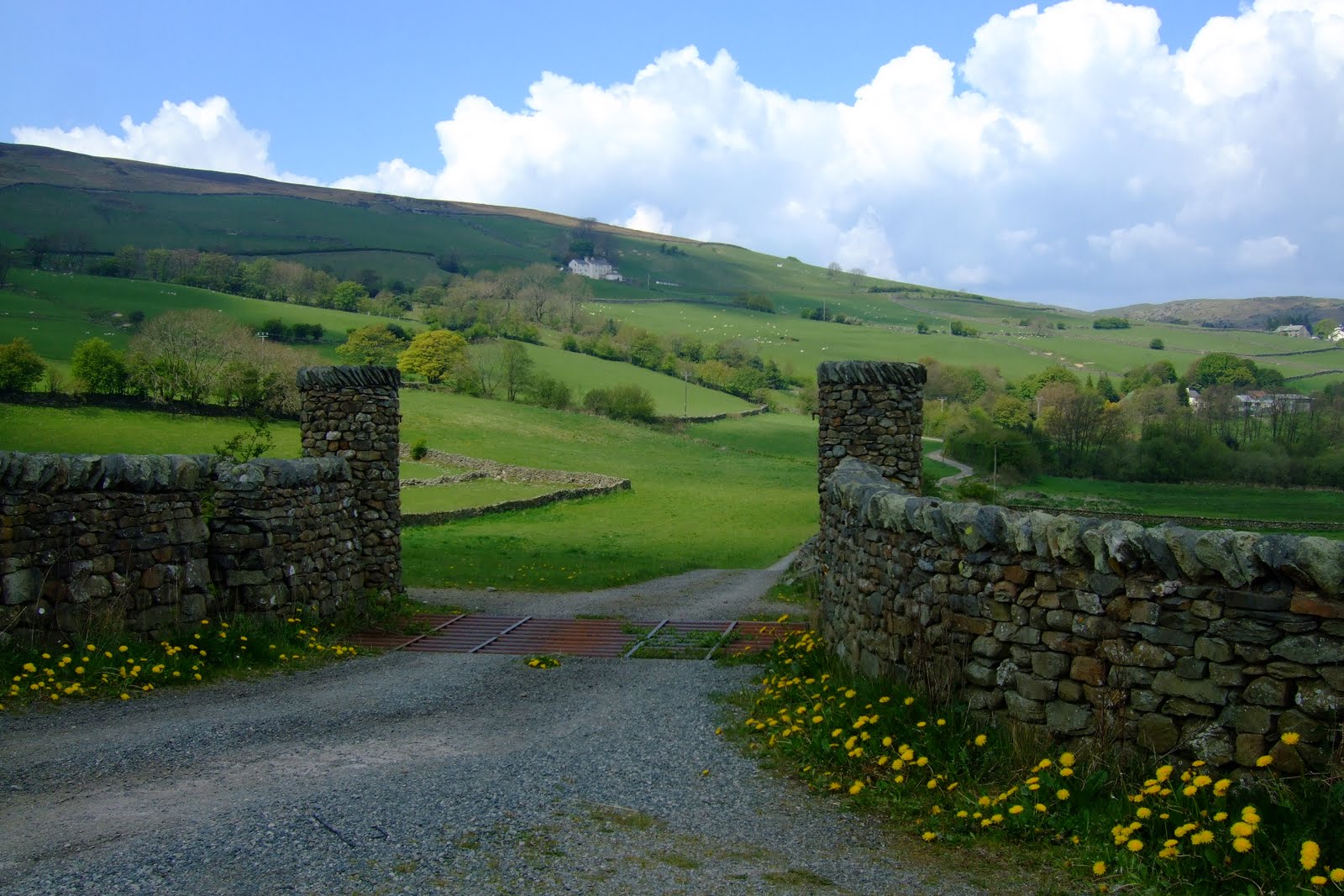
I was 'welcomed' by a band (made up of old people) at the town centre of Ulverston. A lovely self-sufficient town indeed! I found my way to the Gill - where the Cumbria Way commenced. It was across and over farmland for the first 7 miles. It was quite hard navigating at times as walls/fences acted as boundaries which I wouldn't be able to cross if I took an alternative/wrong route. Also met a few couples walking. Chatted :). They were doing sections of the Cumbria Way; some were surprised that I was doing the whole Way, but it had been a 'routine' to me already. Hehee.. Excitement within me slowly faded away as my feet grew tired and it seemed that blisters might form too. Mmmmm...how come? Climbing over stiles and ladders, opening/shutting gates and fences were tedious, and some were so stiff...I hated it!


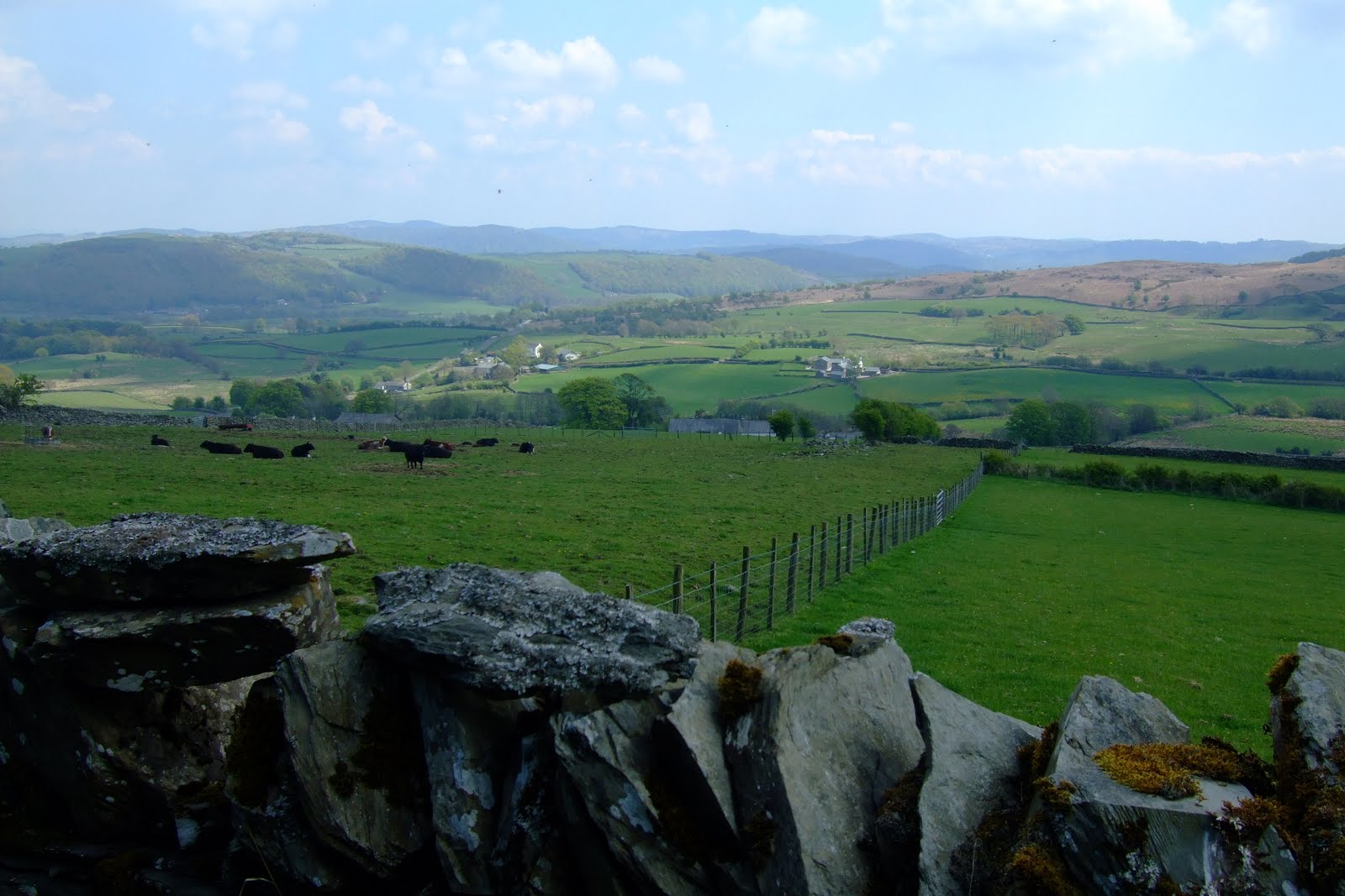


The best part of the Way came as the Way made a more rugged climb to the Blawith Fells and the 'so-blue' Beacon Tarn appeared before my eyes, impressing me. Scenery was perfect then, surrounded by mountains and waters. The highest mountain was 'Old Man of Coniston'. That funny name kept ringing in my mind. How interesting! It seemed very distant then, but I knew I would be heading to Coniston today - probably around that old man as well. Haha... I took the more challenging eastern side of Beacon Tarn (instead of the official west side). It was drier and more interesting, having to find my way along a narrow rocky path. Fun!


For the next section, I took on the higher route (wrong one!) by mistake, but had no regrets making the extra climb above Torver Tarn, and was surrounded by the magnificent mountains around me. Coniston Water appeared to my right shortly after. I managed to re-join the correct track, thankfully.


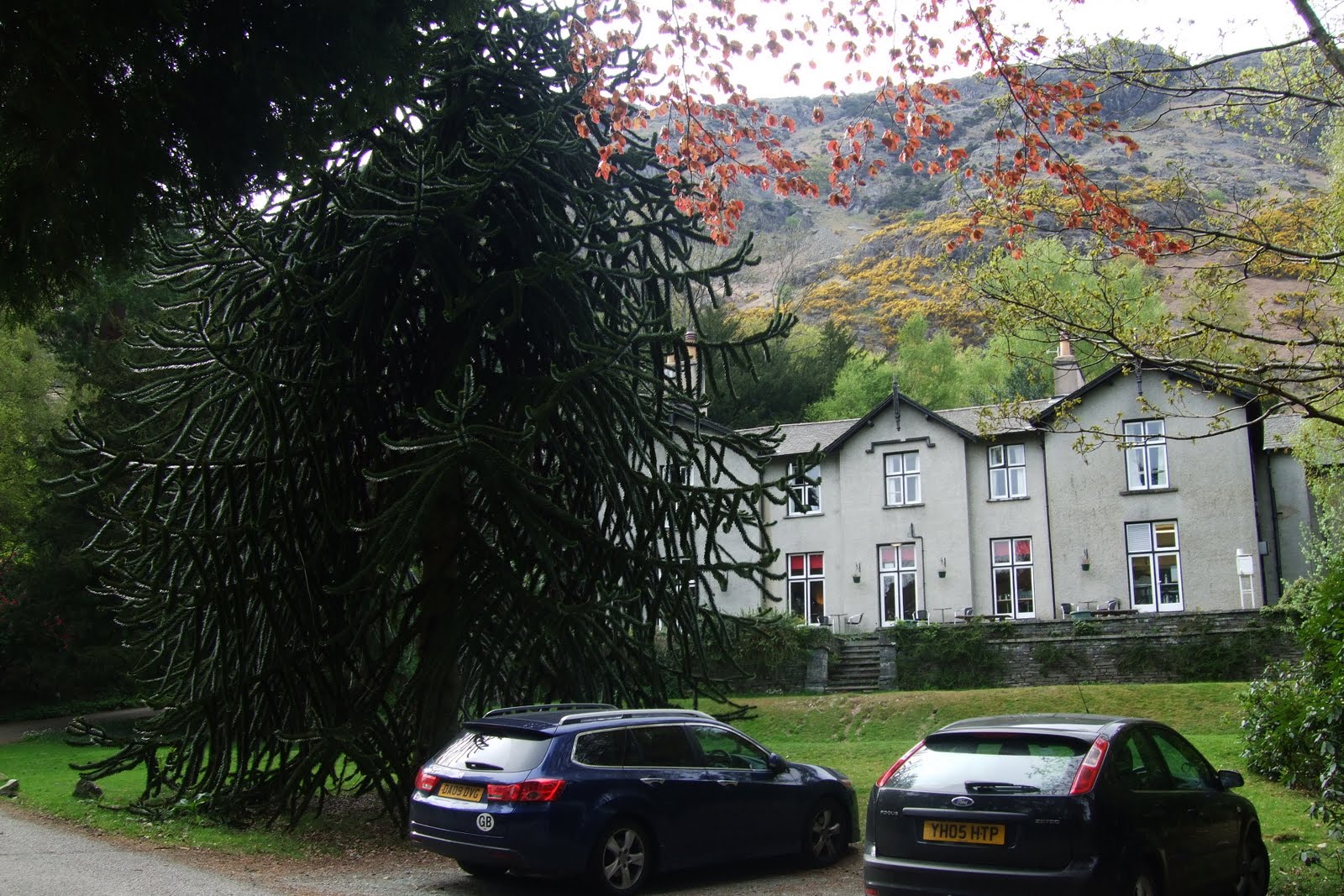
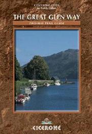
The last part of today's walk was along Coniston lakeshore. It reminded me of Scotland - Great Glen Way (alongside lochs) and West Highland Way (alongside Loch Lomond). The lake was calm of course, hardly any sign of boats, until I was approaching Coniston where a few were visible. Had to do a detour before arriving at the village - had no idea why there was no stile to the main road. It was frustrating! Anyway, the village was quite packed with people enjoying the sunny day. I bought some groceries from the village store before making my way to Holly How YHA to check in. It was a lovely YHA - no complaints :). I had to do some revision now, despite my exhausion and sore shoulders...Hiaz...


0 comments:
Post a Comment